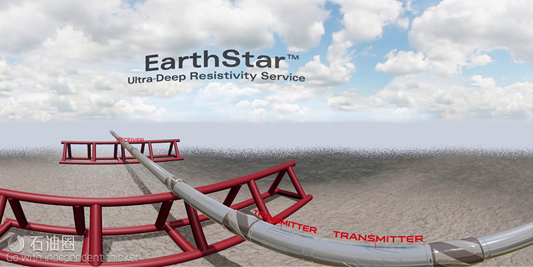
In the development of a reservoir, optimizing the well placement in the desired formations from pre-well modeling techniques is a challenging task. Existing well-planning techniques, such as offset well logs or surface seismic data, do not provide the required level of accuracy and can result in high uncertainty in geosteering decisions. Conversely, conventional logging-while-drilling (LWD) tools determine very fine formation properties but have a limited detection range into the formation. This limited range can make it difficult to correlate LWD measurements against larger-scale seismic data; consequently, accurate well placement can sometimes be very challenging. Ultra-deep azimuthal electromagnetic LWD logging tools effectively bridge the gap in scale between seismic data and conventional logging data, enabling better correlation between them and, ultimately, more accurate well placement.
A new, multi-antenna, azimuthal electromagnetic LWD tool is now available, which propagates electromagnetic fields in three dimensions around the wellbore with an ultra-deep depth of investigation (DOI). A robust inversion process derives the position and resistivity of formation layers within the range of the tool from measurements induced by the propagated fields. This information provides geologists with a clearer understanding of the surrounding geology, enabling timely geosteering decisions, optimized well placement, and more efficient field development.
Theoretical modeling and field-testing results demonstrate that the new tool is capable of resolving multiple formation layers, with a DOI of more than 200 ft (60 m), depending on the selected operating frequency, antenna spacing, and formation properties. The very high signal-to-noise ratio (SNR) in the tool design yields single-point, unconstrained inversion results that are capable of representing complex geological structures within a very large volume of investigation. The tool also provides ultra-deep, azimuthal geosignals and azimuthal resistivity measurements, providing 360-degree information around the borehole.
In such settings, formation density measurements are crucial for determining key evaluation parameters, such as porosity and rock mechanical properties, but acquisition of these measurements can be challenging using existing LWD technologies. In addition, real-time structural dip information for subsalt environments provides insight for the interpretation of the geological structure of the field but is often difficult to obtain in large-diameter boreholes.
With the ultra-deep DOI, it is now possible to identify hydrocarbon reserves and formation boundaries much farther from the wellbore than was previously possible, giving operators the ability to evaluate very large volumes of the reservoir structure from a single well.
Maximizing asset value through geostopping, geosteering and geomapping
With our EarthStar service, we can help you illuminate your reservoir:
Geostop – Reduce well time and cost-per-BOE by detecting target zones early and landing the production lateral in a single-run, eliminating costly pilot holes and sidetracks.
Geosteer – Drill to produce by placing the well in the sweet spot, avoiding unwanted reservoir exits and non-productive zones, enabling early geosteering decision-making and reducing nonproductive time (NPT).
Geomap – Enhance reservoir understanding by mapping formation boundaries and hydrocarbons to identify bypassed pay and fluid movements, increasing production potential and maximizing field reserves.
Halliburton (NYSE: HAL) today released the EarthStar™ ultra-deep resistivity service, a logging-while-drilling technology that helps operators map reservoir and fluid boundaries over 200 feet (61 meters) from the wellbore, more than doubling the depth of investigation of current industry offerings. The service delivers a comprehensive reservoir view so operators can eliminate costly pilot holes and sidetracks, make informed geosteering decisions in real-time and better plan future field development.
“We are excited to release what is truly a disruptive technology that enables operators to see farther into the reservoir while drilling than ever before,” said Lamar Duhon, vice president of Halliburton Sperry Drilling. “The launch of EarthStar resulted from collaboration with customers to engineer a solution that enhances reservoir understanding and helps reduce well time.”
EarthStar uses azimuthal electromagnetic measurements to map the geological structure around a wellbore, enhancing the operator’s knowledge of the reservoir for improvement of recovery potential. The measurements are integrated with Halliburton RoxC™ geosteering software, which uses advanced computing methods to provide real-time visualizations of the reservoir structure and fluid boundaries.
Operators can deploy the service in a number of applications including geomapping to estimate the volume of hydrocarbons in a reservoir, identifying bypassed pay and planning for future field development. In geosteering applications, EarthStar helps position wells in the reservoir’s “sweet spot” for maximizing recovery. Additionally, through geostopping, the service provides early indications of potential drilling hazards.
An operator in the North Sea recently deployed EarthStar in a mature carbonate field to identify remaining oil within a partially water-flooded reservoir. The service mapped the location of the oil and helped guide geosteering decisions to maximize well contact with the oil-bearing zones. After successfully drilling a long interval, the well entered a zone of injected water that continued for over 400 feet (120 m). The operator considered halting drilling, but EarthStar data indicated a second oil deposit approximately 50 feet (15 m) below the well. This increased the productive length of the zone by 50 percent, dramatically increasing overall production potential.
INDUSTRY-LEADING ENGINEERED DRILLING SOLUTION
- The industry’s highest depth of investigation, at over 200 feet (61 meters), combined with advanced inversion processing techniques, delivers a comprehensive visualization of the reservoir.
- High-quality ultra-deep azimuthal resistivity and geosignal images enable improved geosteering
- decision making in three dimensions.
- Low system noise allows for clear delineation of geological features such as faults and lowcontrast or transitional boundaries.
- Formation measurements from the EarthStar service are integrated into the proprietary RoxC™ real-time reservoir modeling, which features fast calculation speeds and a realtime visualization of the reservoir structure.
Sperry Drilling geosteering experts use these measurements to help optimize well placement, reduce wellbore tortuosity, maximize reservoir contact, and plan for future field development.

 石油圈
石油圈
